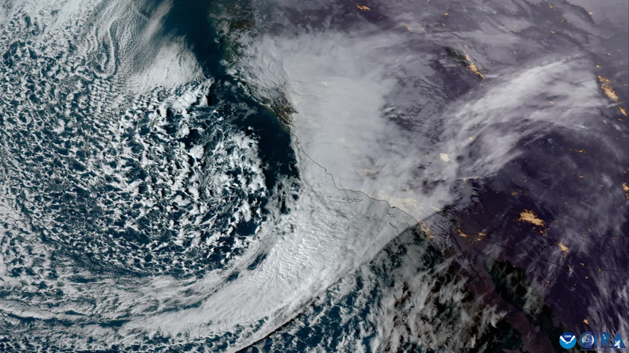
OKLAHOMA CITY — Portions of the southern Plains are bracing for an unsettled stretch of weather as an incoming storm system threatens to produce damaging winds, large hail and tornadoes across Oklahoma on Monday, forecasters said.
The turbulent pattern follows a damp, overcast start to November. Saturated ground, high humidity and calm winds fostered patchy to dense fog across central and northeastern Oklahoma on Sunday morning, News 9 reported. Forecasters warned that the calm conditions would give way to significant storm chances beginning late Sunday night and strengthening into Monday.
Timeline for Monday’s storms
Meteorologists expect storms to initiate late Sunday night and continue into early Monday morning as disturbance energy pushes out of New Mexico, Texas and the Oklahoma Panhandle, according to KOCO. That initial burst of activity is projected to develop in western Oklahoma after 4 a.m. Monday before tracking southeastward.
While that morning wave is expected to weaken prior to reaching Oklahoma City, a second and more dangerous round is projected to ignite later in the day. Forecasters have assigned a two-out-of-five risk category for severe storm development across the region, KOCO reported.
Following a midday lull, atmospheric conditions are expected to become increasingly unstable by mid-afternoon. Storm cells are projected to form around 3 p.m. Monday west of Interstate 35. These afternoon storms could bring wind gusts reaching 70 mph, hail as large as golf balls and the risk of tornadoes, meteorologists warned.
As the evening advances, the individual storms are forecast to merge into an organized line along a sweeping frontal boundary. KOCO reported that this linear configuration will pose an ongoing hazard for brief tornado spin-ups as the front pushes eastward toward the Arkansas border overnight.
Plunging temperatures to follow
Behind the severe weather threat, a strong upper-level low and an accompanying cold front will bring a decisive shift toward late-autumn conditions. By Tuesday, clearing skies will be accompanied by brisk northwest winds gusting between 30 and 40 mph, according to News 9. High temperatures will struggle to climb out of the 50s and 60s across much of Oklahoma for the remainder of the week.
Farther south and west, the overall pattern remains influenced by deep moisture plumes. Remnants of Pacific Tropical Storm Vance, along with moisture feeding northward from the Gulf of Mexico, were forecast to generate heavy rain and localized flash flooding across western Texas and eastern New Mexico, ABC13 Houston reported. While the Atlantic hurricane basin remains inactive to start November, tropical moisture routed through the Southwest has helped fuel the dynamic low-pressure system moving across the Plains.
Residents across central and eastern Oklahoma are urged to monitor local forecasts, review severe weather shelter plans and prepare multiple ways to receive emergency warnings before Monday afternoon.