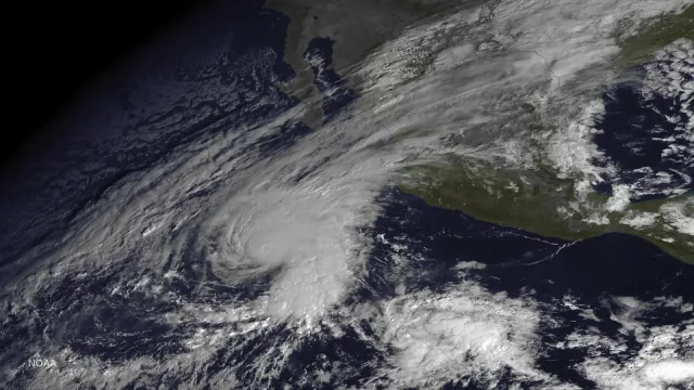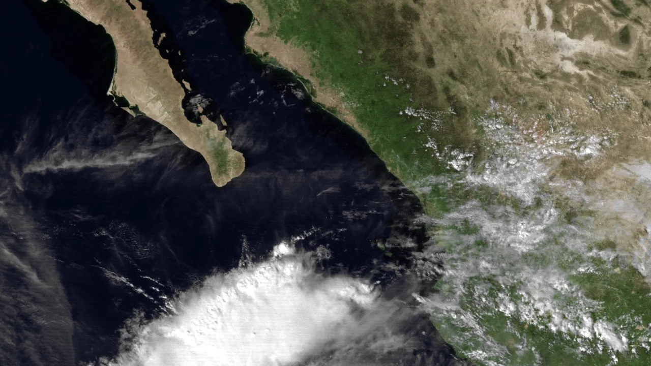
Hurricane Vance rapidly intensified into a Category 2 system on Friday as it tracked off Mexico’s southwestern coast, placing coastal regions on alert and underscoring an extraordinarily turbulent tropical season across the Pacific Ocean.
According to the National Hurricane Center, Vance packed sustained winds reaching 105 mph on Friday while swirling roughly 425 miles south-southwest of Acapulco. Earlier advisories cited by Geo News recorded winds of 85 mph, while UA.NEWS noted winds reached 90 mph after the system first attained hurricane strength Friday morning. Forecasters warned the storm could strengthen into a major Category 3 hurricane before Friday concludes.
A relentless parade of major cyclones
Vance is moving northwest at roughly 5 mph, a track projected to continue through the weekend and bring the storm near Puerto Vallarta by Monday, the Associated Press reported. Although its core remained offshore Friday, outer bands were already channeling rough seas and gale-force winds into the Gulf of Tehuantepec. The weather agency also warned that dangerous ocean swells will pound southern and southwestern Mexican beaches through the weekend, triggering potentially life-threatening surf and rip currents.
If Vance reaches Category 3 status as predicted, it will mark the seventh consecutive major hurricane in the eastern Pacific this year, the AP reported. That uninterrupted stretch follows cyclones Nolo, Odalys, Polo, Rachel, Simon and Trudy. The storm also represents the first “V” named system in the eastern Pacific since 2018, according to Geo News, reflecting a rapid exhaustion of the seasonal alphabet. The World Meteorological Organization’s Hurricane Committee omits storm names beginning with the letters Q and U.
The climate engine behind the surge
The pace of tropical activity this year highlights how broader atmospheric forces can supercharge storm nurseries. As of Sept. 28, NASA recorded at least 20 named storms across the northeastern and central Pacific, nine of which achieved hurricane intensity, according to UA.NEWS. Geo News reported that Vance is the 13th hurricane to emerge in the basin this year.
Meteorologists attribute this heightened activity to an assembly-line pattern of storms spinning up near Mexico and Hawaii, driven by El Niño conditions aggravated by global warming, the AP reported. This broader shift has produced severe weather anomalies well beyond the ocean, including prolonged drought across Central America’s Dry Corridor alongside damaging tornadoes and flash flooding in the southwestern United States. Forecasters cited by Geo News also noted that low-level atmospheric spin has been augmented by local Tehuantepecer wind events, further assisting storm organization.
The energetic Pacific pattern is not confined to North America. Across the western Pacific, Super Typhoon Champi reached maximum sustained winds of 185 mph with gusts hitting 225 mph, tying Super Typhoon Sinlaku as the strongest global storm recorded in 2026, Geo News reported. That system, generating waves approaching 69 feet, is forecast to pass near Taiwan before curving toward Japan.
With a Super El Niño projected to be formally declared later this year, forecasters are monitoring how long the Pacific basin will sustain this intense tropical production as Vance continues its gradual crawl toward the Mexican mainland.