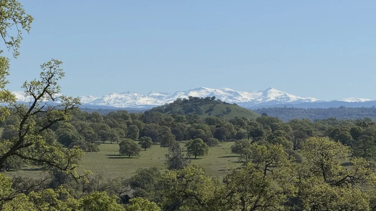
A winter storm watch has been issued by the National Weather Service covering the northern Sierra Nevada and Yosemite National Park beginning Friday, forecasters announced Wednesday, Nov. 11. The incoming storm system is expected to deliver heavy high-elevation snow, strong wind gusts and major travel delays through early next week, according to news reports from myMotherLode and YubaNet.
The primary watch covers areas above 5,000 feet in the northern Sierra Nevada starting Friday morning and lasting until Monday afternoon. A separate watch applies to Yosemite National Park for elevations above the valley floor from Friday afternoon through late Monday night, myMotherLode reported.
Multiple waves of mountain snow
Meteorologists expect two distinct rounds of winter weather to pass through Northern California over the multi-day event. Snow levels are predicted to begin between 7,000 and 8,000 feet on Friday, decreasing to roughly 6,500 feet on Saturday and dropping to near 5,000 feet by Monday morning, according to the National Weather Service office in Sacramento, as reported by YubaNet.
The heaviest period of snow is anticipated from Friday night into Saturday morning. Following a potential break in precipitation during the day Saturday, a second round of snowfall is projected from Saturday night into Monday. Total snow accumulations of six inches to two feet are possible above 6,000 feet, with up to two feet at the highest peaks, myMotherLode reported. Locations at roughly 5,000 feet are expected to receive a dusting to about one inch of snow.
Strong winds are also projected to impact the region. Wind gusts between 50 mph and 60 mph could bring down tree limbs and trigger localized power outages, myMotherLode reported. In addition, YubaNet reported that blizzard conditions could develop at elevations higher than 7,000 feet on Friday.
Severe travel impacts and valley rainfall
Driving across the Sierra Nevada could become extremely difficult to impossible at times over the weekend, weather officials warned. State Route 4 and State Route 108 are among the primary mountain highways expected to face significant hazards. Chain controls, slick road conditions and reduced visibility are expected across high passes, myMotherLode and YubaNet reported. Ebbetts Pass on State Route 4 was already closed due to snow earlier in the month.
Lower elevations will experience rain and wind from the system. A wind advisory will cover the northern and central Sacramento Valley from Friday morning through early Friday evening, featuring gusts near 45 mph around Chico and Redding, according to YubaNet. The initial storm is forecast to bring half an inch to two inches of rain across Northern California on Friday and Saturday, while rainfall totals for the second storm on Nov. 15 and 16 remain uncertain. Commuters in the valley should anticipate wet roads and travel delays, and residents are advised to secure outdoor items prior to the wind.
Forecasters noted that conditions will remain warm and dry through Thursday, making that the safest period for mountain travel. Drivers venturing into the high country are advised to pack tire chains, warm clothing, extra food and water, maintain a full gas tank, and check route conditions before departing.