A relentless sequence of Pacific storm systems supercharged by an atmospheric river continued to sweep across the West on Sunday, bringing heavy mountain snow, powerful winds, and widespread travel hazards that are expected to last through early week.
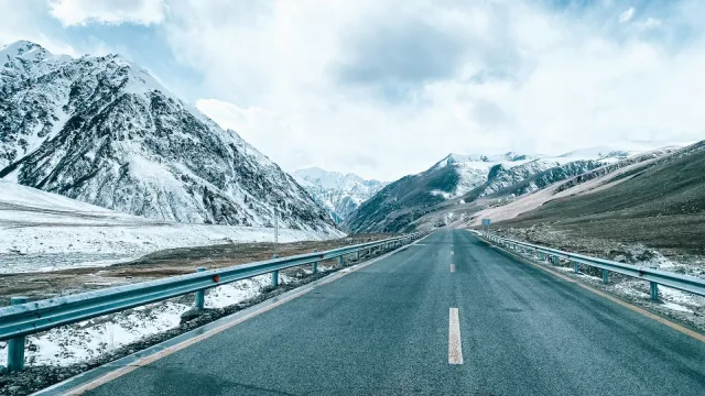
The National Weather Service maintained a winter storm warning for high-elevation areas across the Sierra Nevada through Tuesday morning. Meteorologists projected that parts of California and Nevada could receive up to 20 inches of snowfall above 6,000 feet, accompanied by wind gusts reaching as high as 80 mph in some mountain locations, Audio Ink Radio reported.
Dangerous Travel and Mountain Closures
The weather service office in Hanford, California, updated its alerts on Saturday for several mountain communities, including Shaver Lake, Tuolumne Meadows, Wawona, Grant Grove, Lodgepole, Huntington Lake, Giant Forest, and Devils Postpile. Forecasters warned that roadways could quickly turn slick and treacherous, singling out the Monday morning and evening commutes as times of maximum risk.
Weather officials urged drivers in the affected areas to delay trips if possible, warning motorists to exercise extreme caution if driving is unavoidable. Chris Johnston, a meteorologist with the National Weather Service in Reno, Nevada, emphasized that deep drifts could make routes impassable, telling Audio Ink Radio, “If the roads aren’t cleared out, then it’s a no-go.”
The deteriorating conditions follow substantial road disruptions that began late last week. On Friday evening, the California Highway Patrol in Truckee temporarily closed both the eastbound and westbound lanes of Interstate 80 after multiple vehicles spun out on slick surfaces. The highway patrol cautioned motorists that even vehicles with four-wheel or all-wheel drive remain vulnerable to icy mountain highways, reminding travelers to carry tire chains and reduce speeds.
Chain requirements were already implemented along U.S. Highway 50 between Twin Bridges and Meyers in El Dorado County, according to The Economic Times. In Northern California, mandatory chain controls also automatically reduce speed limits to 30 mph on Interstate 80 and to 25 mph on Highway 50, KCRA reported.
Heavy Rains and Midweek Outlook
Beyond the mountain snow, the storm series is funneling substantial moisture into lower elevations across Washington, Oregon, and California. The Weather Channel reported that Northern California could see between 3 and 5 inches of rainfall, while downpours will push south toward Los Angeles, bringing between 1 and 2 inches of rain. Forecasters warned that soils near recent wildfire burn scars face a significant danger of flash flooding, mudslides, and debris flows.
Precipitation is scheduled to expand eastward into the Intermountain West and western Montana, with higher elevations in the Rockies also anticipating accumulating snow by Monday, according to forecasts cited by The Economic Times.
Forecasters expect little sustained relief. While a brief pause in precipitation may occur between waves, another Pacific storm system is projected to approach Northern California around midweek, sustaining below-average temperatures and delivering another round of mountain snowfall to the Sierra Nevada and the Cascades.