A series of more than a dozen earthquakes rattled Central California late Thursday into early Friday morning, headlined by a magnitude 5.0 quake centered near Pinnacles National Park, according to data from the U.S. Geological Survey.
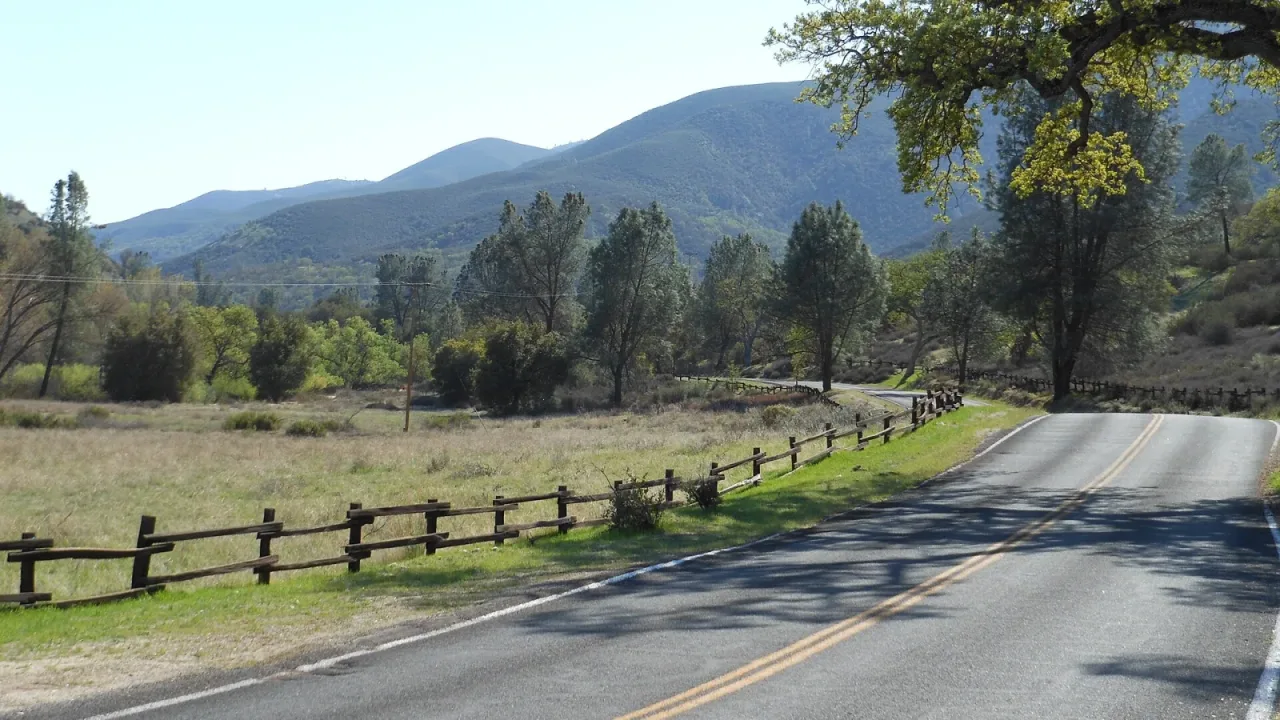
The primary earthquake struck at 10:49 p.m. local time on Thursday. The USGS reported that the epicenter was located roughly 10 kilometers northwest of Pinnacles National Park and approximately 13 miles southwest of Soledad, hitting at a depth of 6.7 kilometers. The agency initially assigned a preliminary magnitude of 5.1 to the event before adjusting the measurement down to magnitude 5.0, according to local station KSBW.
Residents across a broad portion of Central California reported feeling the ground move. FOX Weather reported that shaking was felt across much of the surrounding region and extended as far north as the San Francisco Bay Area. In the coastal city of Marina, residents felt the quake firsthand, with one local resident noting that they received an emergency USGS ShakeAlert system notification. According to KSBW, the automated phone alert explicitly advised recipients to "drop, cover, hold on" if the physical shaking became more intense.
Foreshocks and Aftershock Swarm
The magnitude 5.0 tremor was not an isolated event. Seismologists recorded preliminary seismic activity in the exact same vicinity shortly before the main earthquake took place. A magnitude 3.1 foreshock registered at 9:53 p.m. Thursday, followed by a magnitude 3.3 foreshock at 10:12 p.m., KSBW reported based on USGS data.
In the hours after the 10:49 p.m. earthquake, a steady succession of aftershocks continued to shake the area surrounding Pinnacles National Park. Just minutes after the primary tremor, a magnitude 3.0 aftershock hit at 10:52 p.m., followed quickly by two magnitude 2.5 quakes at 10:57 p.m. and 10:58 p.m. Additional recorded aftershocks included a magnitude 3.4 at 11:14 p.m., a magnitude 2.6 at 11:19 p.m., and a magnitude 2.7 at 11:21 p.m., according to KSBW.
Seismic activity continued well into the early morning hours of Friday. Just before 3:30 a.m. local time, another notable earthquake shook the region. FOX Weather reported that the USGS upgraded that early morning quake to a magnitude 4.4 after initially rating it at magnitude 4.2. That quake occurred at a depth of approximately 10 miles below the surface.
Altogether, the region was shaken by more than a dozen smaller earthquakes ranging between magnitude 2.5 and magnitude 3.0 alongside the larger quakes, FOX Weather reported.
San Andreas Fault Activity
Geological data shows that the cluster of tremors occurred in close proximity to the San Andreas Fault line. According to FOX Weather, the fault line runs along the California Highway 25 corridor south of Hollister. Central California’s location along the fault system makes seismic swarms a recurring feature of the local geology.
California sits on the edge of the Pacific Ring of Fire, a massive 25,000-mile belt of ocean trenches, active volcanoes, and active earthquake zones that encompasses much of the Pacific Ocean basin. The Ring of Fire is home to roughly 90 percent of all earthquakes recorded worldwide.
Despite the frequency and intensity of the shaking through the night, local emergency management officials and news outlets have reported no immediate accounts of structural damage or personal injuries. Geologists and emergency services continue to monitor the area for any further seismic activity.