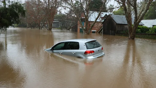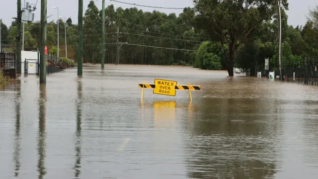
A formidable El Niño pattern battered both sides of the nation this week, unleashing torrential downpours that broke longstanding rainfall records, triggered flash floods and disrupted daily life from Northern California to Florida’s Atlantic shore.
Downtown San Francisco recorded 2.64 inches of rain on Wednesday, shattering a 108-year-old daily mark of 2.24 inches set on Nov. 18, 1918, NBC News reported. Across the continent, Daytona Beach, Florida, measured nearly 5.8 inches of rain on the same day, eclipsing its previous daily record by more than five inches, according to the National Weather Service.
Flooded Streets and Waterspouts in the Bay Area
The severe weather caused widespread disruption across the San Francisco Bay Area. Two waterspouts churned over San Francisco Bay on Wednesday, while another appeared near Santa Cruz, meteorologists told NBC News. High winds toppled trees and utility lines, leaving thousands without power as runoff swamped wildfire burn scars and prompted flash flood warnings.
Low-lying sections of San Francisco were submerged, with parts of the Great Highway sitting beneath a foot of water, local news site Mission Local reported. In the Mission and Marina districts, floodwaters invaded garages, homes and businesses. Residents reported that passing city buses created wakes that breached sandbag barriers and pushed water into properties, ABC7 Bay Area reported. San Francisco Supervisor Stephen Sherrill said transit officials agreed to work on installing flood-height monitors to reroute buses when water levels rise.
San Francisco Mayor Daniel Lurie convened an emergency press conference, warning residents to avoid driving through standing water and to restrict unnecessary travel. Meanwhile, in the South Bay, stormwater penetrated the roof of Duncan Hall at San Jose State University, flooding its sixth-floor synoptic meteorology laboratory, according to NBC Bay Area.
Florida Faces Severe Flash Flood Threats
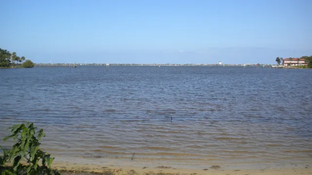
Along Florida’s Atlantic coastline, more than a foot of rain poured down over a 48-hour period, striking communities that had experienced historic flooding just two weeks earlier, NBC News reported. The previous round of floodwaters had disrupted polling locations on Election Day. Because the ground remained thoroughly saturated, the National Weather Service elevated the flash flood risk on Florida’s Space Coast to its highest category on Thursday.
Approximately 11 million Florida residents woke up under flood watches Thursday morning. Officials in Melbourne opened an emergency shelter at a local community center to take in displaced residents. In response to the crisis, Gov. Ron DeSantis mobilized hundreds of Florida National Guard and State Guard personnel, alongside state wildlife officers and highway patrol troopers, to support local rescue and mitigation operations.
Fueled by Ocean Heat and Shifting Jet Streams
Meteorologists attribute the coast-to-coast deluge directly to the current El Niño, an atmospheric phenomenon that occurs when equatorial Pacific trade winds weaken and allow ocean waters to warm. National Oceanic and Atmospheric Administration figures indicate that this year’s event ranks as the second-strongest on record for the August-to-October period, even without factoring in broader climate trends.
In California, sea surface temperatures off the coast of Monterey ran roughly 12 degrees Fahrenheit above normal, supercharging the atmospheric moisture feeding the storm system, National Weather Service meteorologist Anamaria Navarette told NBC News. At the same time, the climate pattern altered the southern jet stream, steering a continuous conveyor belt of heavy rain straight into the Southeast.
Conditions remained hazardous late Thursday. Forecasters warned that additional rainfall totals of 4 to 8 inches are anticipated along Florida’s coastline through Saturday, with localized totals potentially reaching 12 to 15 inches. NOAA expects the influential El Niño pattern to persist across the continent through May.