A weakening post-tropical cyclone Isaias pushed inland across the Southeast on Saturday morning, leaving more than 900,000 utility customers without electricity after striking the Florida Panhandle as a Category 2 hurricane late Friday night.
The center of the storm reached land around 9:30 p.m. Eastern time near Destin, Florida, carrying sustained winds of 105 mph, according to the National Hurricane Center. By early Saturday, forecasters announced that the system had transformed into a post-tropical cyclone, with sustained winds falling to roughly 35 mph as it lost its tropical characteristics.
Widespread blackouts and coastal destruction
Despite the cyclone’s technical downgrade, meteorologists emphasized that severe dangers persisted across multiple states. Disruptions escalated swiftly overnight, leaving over 900,000 homes and businesses dark throughout Florida, Alabama and Georgia, according to data from PowerOutage.us cited by The Guardian and FOX Weather.
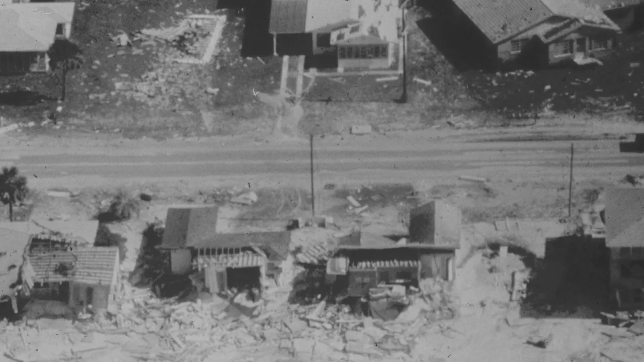
Along the Florida Panhandle, hurricane-force gusts produced structural damage, including tearing the roof off a Pensacola hotel, FOX Weather reported. The National Weather Service recorded wind gusts of 116 mph at Santa Rosa Sound, 114 mph at Whiting Field and 102 mph in Pensacola.
Coastal areas also grappled with serious seawater rise. In Panama City Beach, Florida, storm surge pushed water levels 5.4 feet above the normal high-tide mark. Heavy downpours triggered a flash flood emergency late Friday for the communities of Destin and Fort Walton Beach.
Inland deluge and disaster declarations
Marking the opening hurricane of the 2026 Atlantic season, Isaias dumped more than a foot of rain on Defuniak Springs, Florida, and Bellwood, Alabama, according to FOX Weather. Before the storm made landfall, National Hurricane Center Director Michael Brennan warned on PBS News that faster forward speed would drive damaging winds and heavy rains deep into inland Alabama and Georgia.
Ahead of the impact, Alabama Gov. Kay Ivey mandated evacuations for visitors and non-residents in key coastal counties, while Florida Gov. Ron DeSantis urged residents to finish their storm plans immediately. States of emergency were established in Florida, Alabama and Georgia.
On Saturday, Homeland Security Secretary Markwayne Mullin confirmed that the president approved federal emergency declarations for Florida and Alabama to free up assistance, BBC News reported. The Federal Emergency Management Agency announced that disaster assistance is accessible for residents in both states.
Threat of further flooding
All coastal tropical weather warnings were ended by Saturday morning, according to BBC News. Still, forecasters warned that the lingering storm system continues to pose substantial hazards across the region.
A Level 3 out of 4 risk for excessive rainfall remains in place for parts of northern Georgia and the Blue Ridge Mountains, including metropolitan Atlanta and Asheville, North Carolina, FOX Weather reported. Forecasters also warned that landslides could occur in the Southern Appalachians, while isolated tornadoes remain possible across parts of Georgia, South Carolina and the Florida Panhandle.
The remnants of Isaias are expected to cross Alabama and push into the Tennessee Valley through the weekend before rain spreads across more than 15 eastern states on Sunday.