A severe thunderstorm featuring radar-indicated rotation triggered a brief tornado warning for parts of New York City and Long Island on Thursday afternoon, prompting temporary ground stops at area airports and sending residents rushing to shelter.
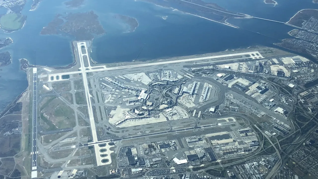
The National Weather Service issued the alert at 1:14 p.m. ET for southern Queens and southwestern Nassau County. Moving northeast at roughly 15 mph from the Rockaway Beach area, the storm tracked toward John F. Kennedy International Airport while threatening quarter-sized hail and dangerous flying debris. The warning expired at 2 p.m. ET after meteorologists determined the storm had weakened below severe thresholds and no longer posed an active tornado threat.
Ground Stops and Emergency Warnings
During the alert, New York City Emergency Management urged residents in the affected area to take shelter immediately on the lowest floor of a sturdy building, far from windows, according to reports by The Mirror US. The agency noted that approximately 144,500 residents lived within the warning zone, which encompassed 36 schools and two hospitals. Emergency officials cautioned locals not to wait until a funnel cloud became visible before taking cover, noting that heavy downpours can obscure an approaching tornado.
The severe weather caused immediate disruptions to regional air travel. Both JFK International Airport and LaGuardia Airport instituted ground stops as heavy rain and hail swept through the area, The Weather Channel reported. Airport officials at JFK advised passengers to check their flight status directly with airlines. While social media videos showed what appeared to be a funnel cloud near the coastline, weather authorities reported no confirmed tornado touchdowns in the area.
Severe Weather Spreads Across Mid-Atlantic
The atmospheric instability extended well beyond New York on Thursday. In Delaware, the National Weather Service issued a separate tornado warning around 1:20 p.m. ET for parts of New Castle County, including Wilmington, Newark, Stanton, and Newport, according to The Weather Channel. Radar detected rotation in a storm moving northeast at 15 mph, while social media footage showed a potential tornado near Wilmington. If confirmed by weather inspectors, the event would represent only the second November tornado recorded in Delaware since 1950. Additionally, parts of central and southern New Jersey were placed under a tornado watch through 7 p.m. Thursday, the Daily Mail reported.
Flooding Threats and Weekend Outlook
Although the tornado risk subsided, heavy rainfall maintained flood advisories across Brooklyn, Queens, and Nassau County into Thursday afternoon. The National Weather Service warned drivers to avoid flooded roadways, noting that most flood-related fatalities occur inside vehicles, the Daily Mail reported. Between one and two inches of rain had already fallen in parts of Nassau County by early afternoon, with localized rainfall rates threatening additional downpours of nearly an inch an hour.
Farther north in the Adirondacks, snow was reported falling in Piseco, New York, about 65 miles northwest of Albany, according to The Weather Channel. Forecasters expect rain, coastal high tides, and wind gusts up to 30 mph to linger through Friday before drier weather settles over the region for the weekend.