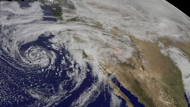
Southern California communities are bracing for heavy precipitation after meteorologists placed coastal mountains and vital transit corridors under flood watches scheduled to last through Thursday, Oct. 22.
The alerts, issued Tuesday by two regional National Weather Service offices, cover parts of Los Angeles County including Malibu, the Santa Monica Mountains, and the Interstate 5 Grapevine passage. Forecasters warned that saturated soils and intense rain bursts could quickly overwhelm storm drains, swell natural waterways and create dangerous driving conditions on major roadways.
Threats in coastal and mountain areas
In coastal Los Angeles County, the National Weather Service forecast office in Oxnard issued a flood watch at 12:11 p.m. on Tuesday, the Pasadena Star News reported. The alert applies to Malibu along with both the western and eastern recreational sectors of the Santa Monica Mountains. It goes into effect at 4 p.m. Wednesday and remains active until 4 p.m. Thursday.
Forecasters cautioned that excessive rainfall could trigger urban flooding and inundate spots that suffer from poor drainage. Stream channels, urban streets and creeks could experience extensive overflow, prompting meteorologists to urge residents in low-lying zones to track updated alerts and prepare to seek higher ground if conditions deteriorate.
Travel hazards along Interstate 5
Farther north, transportation corridors face similar disruptions. The National Weather Service Hanford bureau updated a flood watch at 8:34 p.m. Tuesday for the Interstate 5 corridor through the Grapevine, according to reports from The Press-Enterprise and the Orange County Register. That advisory begins at 8 a.m. Wednesday and extends through 8 p.m. Thursday.
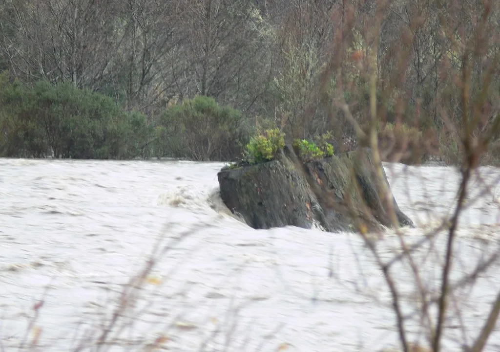
Hanford forecasters warned that repeated bands of storms training over the identical terrain could cause flash flooding. Runoff from the mountains may spill into streams, rivers and low-water road crossings, while mud and debris could block culverts and drainage channels along the mountain pass.
Safety precautions and preparedness
Emergency officials reminded the public of key distinctions among National Weather Service advisories. A flood watch signals that atmospheric factors favor flooding, while warnings indicate that inundation is either happening or about to occur. In flash flood situations, torrents can build in minutes, occasionally striking areas that have not seen direct downpours.
Authorities advised drivers and hikers to steer clear of rushing currents. As little as six inches of rapid current can knock an adult over, and 12 inches of fast water can carry away passenger automobiles. Motorists are urged to lower their speeds, allow at least four seconds of distance between vehicles in wet weather, avoid standing water on road shoulders, and turn on headlights to counter reduced visibility during downpours.
Officials also suggested that people near rising waters relocate to upper levels or elevated land, avoid basements containing submerged electrical equipment, and obey any local evacuation directives without delay.
Forecasters said they will continue to track incoming rain bands across Southern California through Thursday evening to evaluate whether targeted flash flood warnings become necessary as rainfall totals mount.