Federal forecasters said Thursday there is a 60 percent chance that a record-breaking El Niño will develop in the coming months, potentially becoming the strongest event of its kind in more than 75 years.
The Climate Prediction Center, a division of the National Weather Service, reported that ocean surface temperatures in the equatorial Pacific Ocean continue to climb rapidly. According to data from the National Oceanic and Atmospheric Administration, water temperatures in the central Pacific’s key monitoring zone were 2.5 degrees Celsius (3.6 degrees Fahrenheit) above average in November, up from 2.1 degrees in October and 1.8 degrees in September. Meteorologists generally classify an El Niño as “very strong” when temperatures in that region remain at least 2 degrees Celsius above normal over three consecutive months.
NOAA forecasters noted that there is greater than a 79 percent probability that this El Niño will maintain strong or very strong intensity through the January-to-March period of 2027.
Shift in Winter Patterns Across North America
The intensifying climate pattern is expected to shift weather across North America throughout the winter season. According to NOAA’s seasonal projections, milder weather is favored across much of the northern United States, including the Pacific Northwest, northern Plains, Midwest, and the East. The highest odds for warmer-than-average conditions are focused in the upper Mississippi Valley and the Great Lakes.
In contrast, wetter-than-average conditions are anticipated across the southern half of the country. Forecasters expect increased precipitation across California, the Southwest, the central and southern Plains, the Gulf Coast, and the Eastern Seaboard. While NOAA expressed high confidence that the added moisture will help reduce drought conditions across parts of the West and South, officials cautioned against potential hazards.
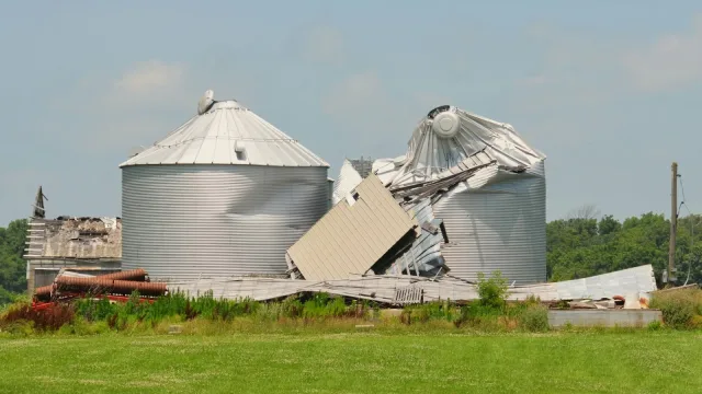
“Too much rain on dry soil can fuel destructive flash floods and mudslides,” National Weather Service Director Ken Graham said, pointing to an elevated risk of severe storms across the eastern Gulf Coast and northern Florida in late winter.
AccuWeather meteorologist Paul Pastelok noted that although El Niño patterns often correspond with lower overall snowfall totals in the northern U.S., a single major storm could still flip the script and deliver heavy winter impacts to East Coast cities.
Risks of Flooding and Coastal Waves in California
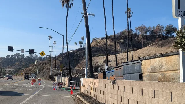
California faces heightened vulnerability heading into the winter months. Governor Gavin Newsom has declared a state of emergency in preparation for projected heavy rains, flooding, and mudslides. Areas previously burned by wildfires face significant threat because compromised soil increases runoff risks.
Past El Niño events have produced contrasting outcomes along the West Coast. Devastating storms during the winters of 1982-83 and 1997-98 destroyed coastal homes and piers, with the 1997-98 winter causing 17 deaths and more than $550 million in damage across California, according to The New York Times. While the 2023-24 winter brought heavy rain that relieved drought, a powerful El Niño in 2015-16 unexpectedly produced below-average rainfall in the state.
Along the Pacific coast, marine researchers warning of rising sea levels point to ocean phenomena known as Kelvin waves. As El Niño pushes warm water eastward across the Pacific Ocean toward North America, the water forms large coastal waves that can elevate sea levels by 15 centimeters (6 inches) or more over weeks and months, accelerating beach erosion.
Global Impacts and Ecosystem Disruption
The effects of the climate pattern extend far beyond North America. Researchers at the Monterey Bay Aquarium Research Institute reported that deep-water temperatures in Monterey Bay are running about 8 degrees Celsius above average, causing kelp die-offs and seabird strandings, as reported by The Guardian. Globally, scientists at the University of Chicago’s Climate Impact Lab project that El Niño-related heat could contribute to more than 450,000 deaths worldwide by February.
Scientists and emergency management officials continue to monitor oceanic readings to determine whether water temperatures will set new historic records as winter begins.