A developing nor’easter moving across the eastern United States is shifting rain into snow across higher terrain in New York, northeastern Pennsylvania and northern New England, according to weather forecasters.
The storm system, which dumped rain along major Atlantic coast transport routes, began changing from rain to snow over elevated areas late Thursday afternoon, local television station WSTM reported. While higher elevations face the threat of hazardous travel, forecasters noted that lower-lying areas are unlikely to see significant snow accumulation due to elevated ground temperatures and preceding rainfall.
Elevation Variation Affects Snow Buildup
Weather forecasters in Central New York warned that predicting road accumulation remains difficult across the region. According to WSTM, rain preceded the arrival of colder temperatures, leaving pavement wet and making it harder for snow to adhere to roads. While temperatures are expected to drop near or below freezing at higher altitudes, lower elevations are forecasted to remain closer to 32 degrees Fahrenheit.
As a result, initial snow accumulation in lower areas is expected primarily on elevated or grassy surfaces, including lawns, trees, parked vehicles, power lines and wooden decks, WSTM reported. Elevated road structures such as overpasses may also experience icy or slushy patches before surrounding surface roads.
The National Weather Service’s Weather Prediction Center reported that rain will continue turning to snow through Friday morning across high-elevation regions of New York and northern New England. AccuWeather meteorologists noted that cities including Syracuse, Binghamton and Pittsburgh could see their first snowflakes of the season, alongside higher terrain in the Poconos, Catskills and Berkshires.
Storm Impact and Incoming Polar Cold
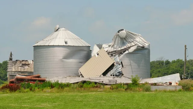
Before sweeping into the Northeast, the storm system produced severe weather in parts of the eastern region on Thursday. The Weather Channel reported that the storm generated damaging winds, hail and a tornado near Wilmington, Delaware. Winds accompanying the nor’easter are expected to gust up to 30 mph as the center of the low-pressure system moves east of Cape Cod.
Despite the gusty conditions, meteorologists at The Weather Channel said the low-pressure system is not strong enough to trigger severe coastal flooding or widespread flash floods. Minor coastal flooding remains possible around high tide near New York City and along parts of the southern New England coast, according to the Weather Prediction Center.
Beyond the Northeast, the storm is driving cold weather into other regions. Heavy lake-effect snow is expected to produce significant accumulations in Michigan’s Upper Peninsula through Friday, the Weather Prediction Center stated. Following the passage of the nor’easter, a mass of polar air will push across the central and eastern U.S., dropping temperatures well below seasonal averages.
By Saturday morning, frost and freeze warnings are projected to reach into the Deep South, including northern Georgia and Alabama, with nighttime lows dropping into the upper 20s and lower 30s, according to The Weather Channel. High temperatures across much of the Midwest and Northeast are expected to remain in the 40s through the weekend.